OS MAPS
ServicesDesign, Print, Packaging, Merchandise, Fulfilment, Distribution
They’ve got it all Mapped out
Ordnance Survey is the national mapping agency for Great Britainand one of our existing clients. They were looking for us to develop an urban map series, this mapping product was designed to allow people to discover the green spaces in London while on great walking routes.
We provided a range of packaging options to suit the new mapping product – this was then reduced to a top 3 which were sampled and quoted. The final 3 options were presented to the development team at Ordnance Survey and a final choice was made. We produced full colour mock-ups which were then tested with the maps before production began.
All the artwork was provided to us and they even kindly mentioned us on the back of the sleeve.
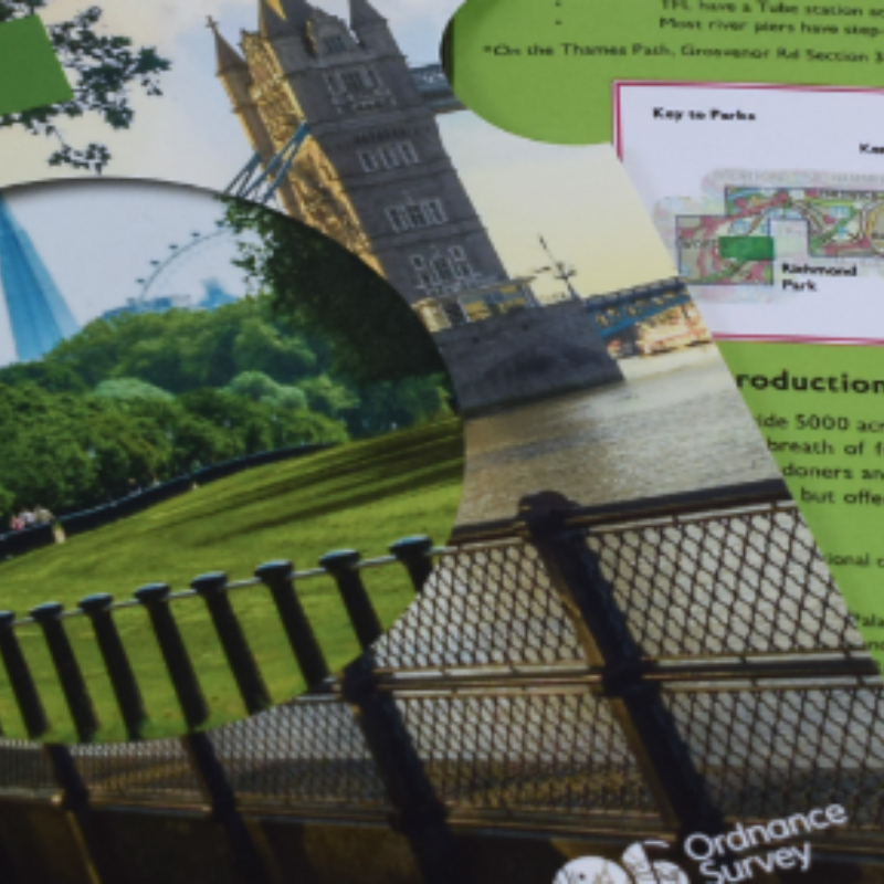
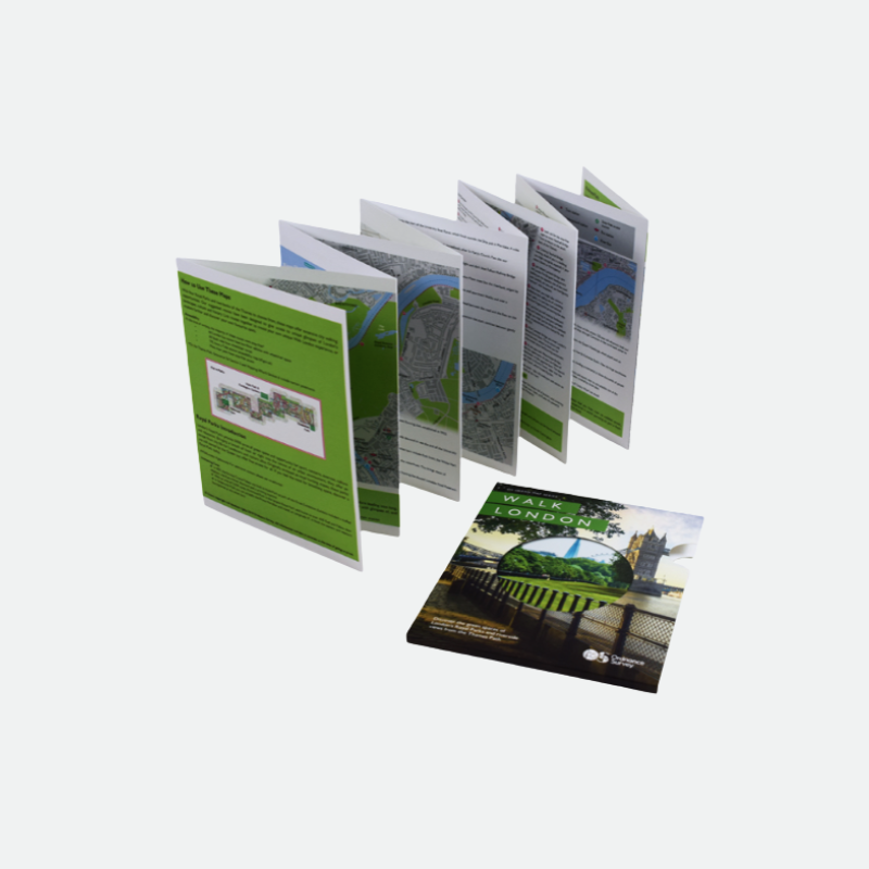
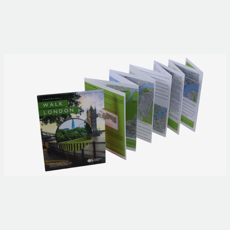
We produced 4,000 units, the map itself is a hand-illustrated A5 concertina full colour print with a matt film lamination. It has a great feel for map and tucks away easily and neatly into its sleeve.
The first in its series ‘Walk London’ map plots out extensive city walking routes for both banks of the River Thames and four Royal Parks to reveal the best open spaces London has to offer. A great idea whether you live in London or like to visit and see more green space while you’re there. It was launched at the end of September and is now available to on buy www.ordnancesurvey.co.uk
Whether you’re planning a visit to London or you need to take a break from the hustle and be a tourist in your own town, this map is the perfect solution.
Where will your next packaging project take you? Talk to us….